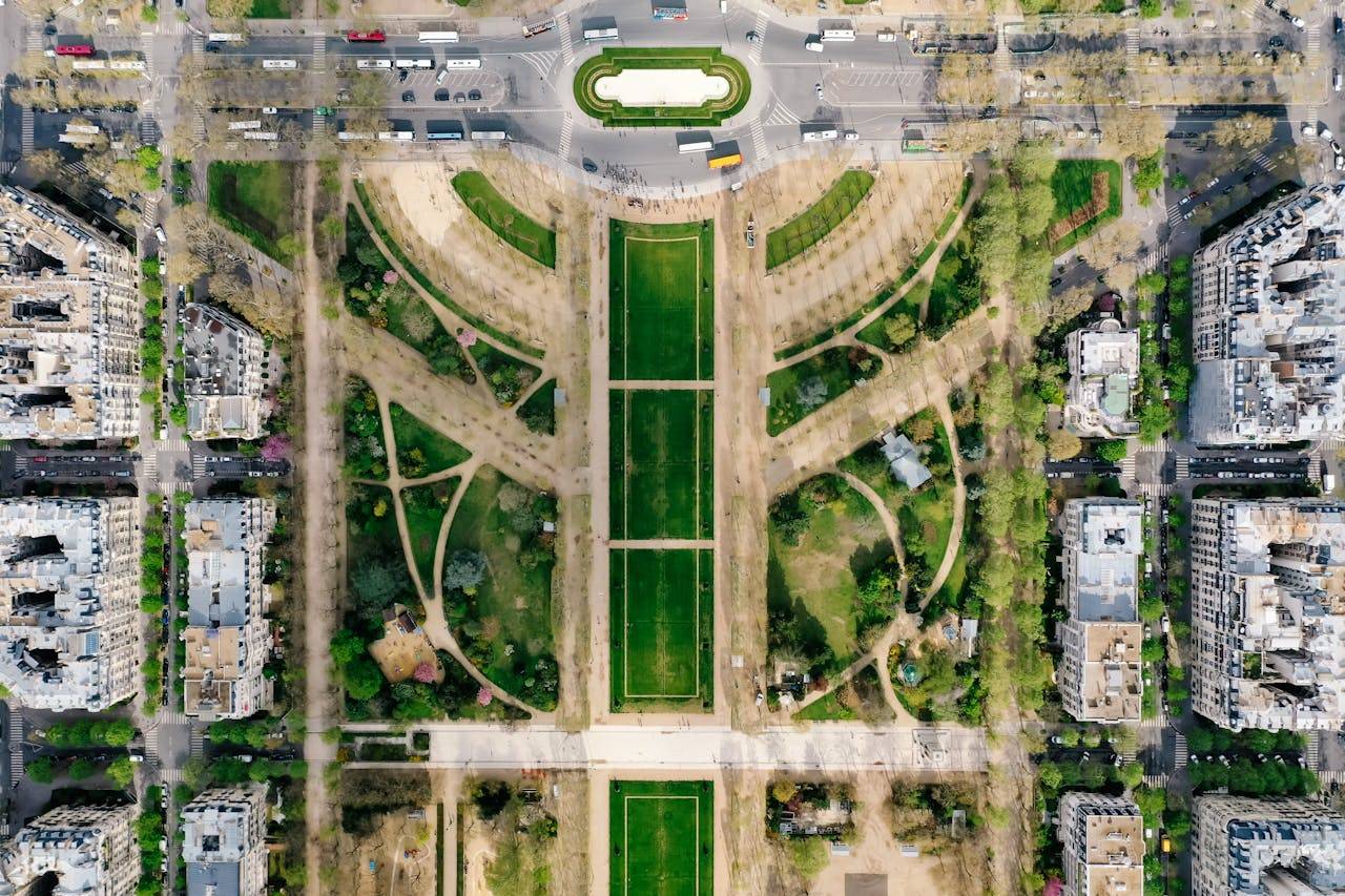
In a major step toward digitizing rural land records, the Karnataka government has approached the Union Ministry of Civil Aviation (MoCA) to obtain clearance for drone surveys in 353 red zone villages under the Centre’s SVAMITVA (Survey of Villages and Mapping with Improvised Technology in Village Areas) scheme. These villages lie near sensitive zones such as airports, military establishments, and other high-security areas where drone operations require special central permissions.
The initiative aims to accelerate completion of property surveys in all 30,715 villages of Karnataka by March 2026. Once granted, the MoCA clearance will allow drone flights to resume in these restricted areas, significantly pushing forward the state’s land mapping efforts.
Union Panchayat Raj Minister S.P. Singh Baghel recently informed the Rajya Sabha that both the Karnataka government and the Survey of India had submitted formal requests to fly drones in these high-security zones. Officials expect approvals to come with specific operational guidelines and restrictions.
As of July-end, drone surveys had been completed in 23,338 villages, according to data from the state’s Survey Settlement and Land Records (SSLR) department. The remaining villages, including those in red zones, will be surveyed in partnership with the Survey of India once clearances are secured.
SSLR Commissioner J. Manjunath emphasized that this is the first time property surveys are being conducted in gramthanas and adjacent residential areas using drone technology. “Following aerial surveys, field-level teams will verify property data on the ground, with support from local villagers. The result will be a comprehensive village map detailing boundaries, drainage, and property details,” he explained.
The SVAMITVA scheme is a flagship project of the central government aimed at issuing legal ownership records for properties in rural areas. By generating digital property cards, the initiative hopes to reduce land disputes, promote formal ownership, and support better planning and infrastructure development.
Property owners will be given draft ownership cards once the drone and field surveys are complete. They will have an opportunity to review and correct any discrepancies before final cards are issued. In cases of dispute, corrections will be made based on supporting documents submitted by the owners or gram panchayats.
So far, draft property cards have been prepared for 10.2 lakh properties in 4,125 villages. With MoCA’s approval expected soon, surveys in the remaining areas—including those in sensitive zones—are likely to resume, bringing the state closer to full rural land digitization.


.png)